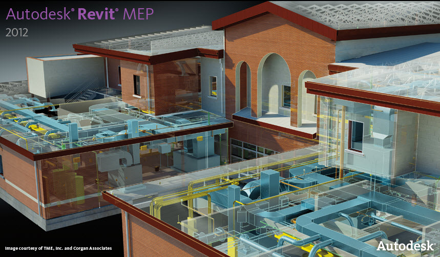
Autodesk Navisworks BIM models, synchronized through LATISTA, contain information for quality assurance (QA/QC), collaboration, production tracking, and materials tracking on the jobsite and in the construction office.
Reston, VA (PRWEB) October 7, 2009 -- LATISTA Technologies, a leader in construction automation and field management solutions, announced that LATISTA Field automation software has integrated Autodesk Navisworks project design and synchronized BIM modeling capabilities. Autodesk, Inc., is a provider of computer aided drawing (CAD) and building information modeling (BIM) software.
LATISTA Field was developed specifically to be used on the jobsite with portable tablet PCs. Now it includes Autodesk Navisworks BIM capabilities to improve collaboration between the office and the jobsite.Combining LATISTA Field's mobile and web-based solution with comprehensive Navisworks models enables owners, architects, engineers, and construction professionals to update, access, and share information on a single construction model on and off the jobsite. LATISTA Field is leading the way in linking BIM technologies to the LATISTA Enterprise quality and field operations management solution.
To improve efficiency and accuracy, LATISTA integrates information from the Navisworks model and augments in LATISTA Field it with statuses, issues, and actions for automating field operations including quality assurance and control (QA/QC), materials tracking, production tracking, punch list and commissioning.
Our software is already proven to reduce a construction project's time and cost. Adding Autodesk's BIM information into LATISTA and enabling project teams and owners to view LATISTA information in Navisworks only compounds the return on investment for our customers.
With a mobile tablet PC in the field, a LATISTA user can key in or scan the item's tag code from RFID or barcode and status the item. Back at the office, the Naviswork model is automatically updated with the latest statuses from the field, generating an instant up-to-date view of the project's progress. Project teams and owners benefit from having a visual representation of the latest information from the field, since shared information leads to less confusion and fewer delays.
"Our software is already proven to reduce a construction project's time and cost," said Chris Ramsey, Executive Vice President of LATISTA, "Adding Autodesk's BIM information into LATISTA and enabling project teams and owners to view LATISTA information in Navisworks only compounds the return on investment for our customers."

No comments:
Post a Comment